Finding sustainable groundwater resources in the middle of the desert. Discovering unexploded ammunition, burial sites, and tunnels. Detecting earthquake fault locations, depth of bedrock, lithium brine, gold and other resources. All in the subterranean space. There is value in knowing what lies beneath the surface before starting your next big project.
Geophysical evaluations look for the subsurface challenges, objects, or resource targets before your project starts, helping to ensure successful planning, design and delivery of your project. Answering questions like, is your project in an area prone to voids, sinkholes, abandoned mines, or faults? Do you have a reliable way to know the locations of subsurface utilities and obstructions prior to construction? Are you interested in site characterization such as depth to bedrock or groundwater? Are you interested in discovering or protecting a valuable natural or man-made resource? Answering these questions in the early stages of a project can help to avoid costly remedial steps later.
Unknown, or poorly defined subsurface conditions can be devastating for environmental, construction, resource, and development projects – causing safety concerns, property damage, project delays, contractor change orders, and unforeseen costs. Performing geophysical evaluations help to avoid these issues.
Here’s How We Help
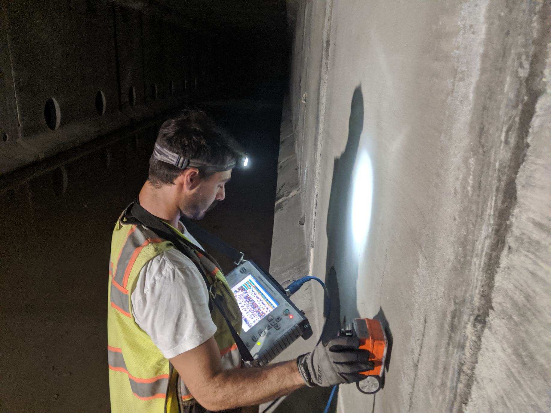
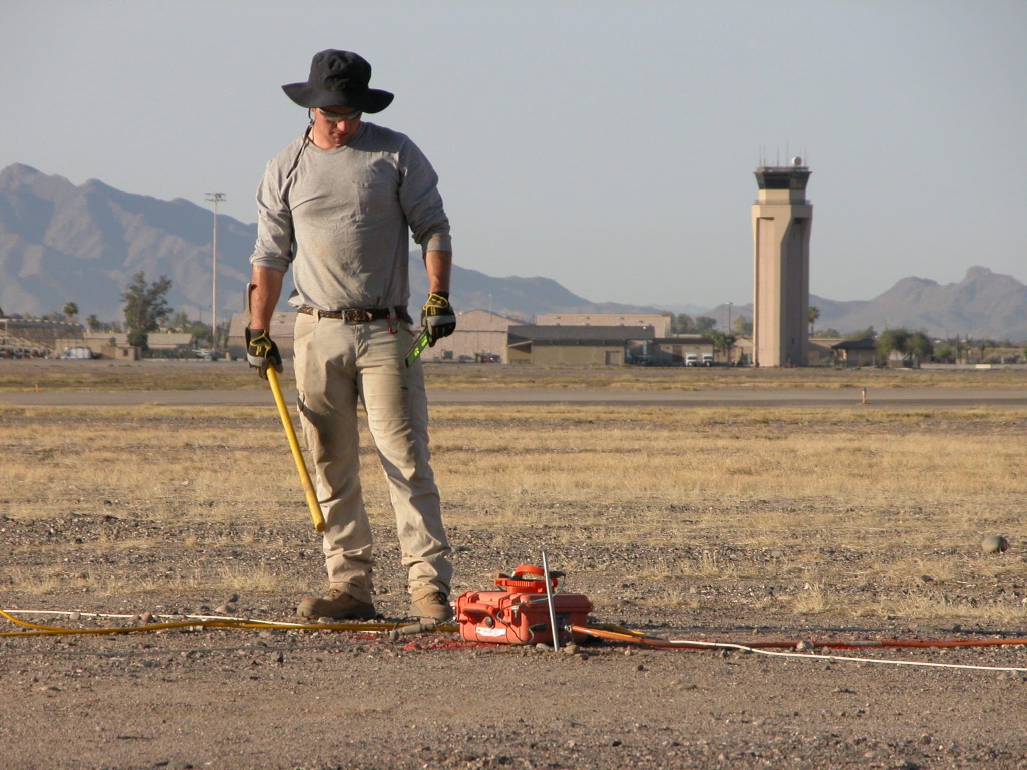
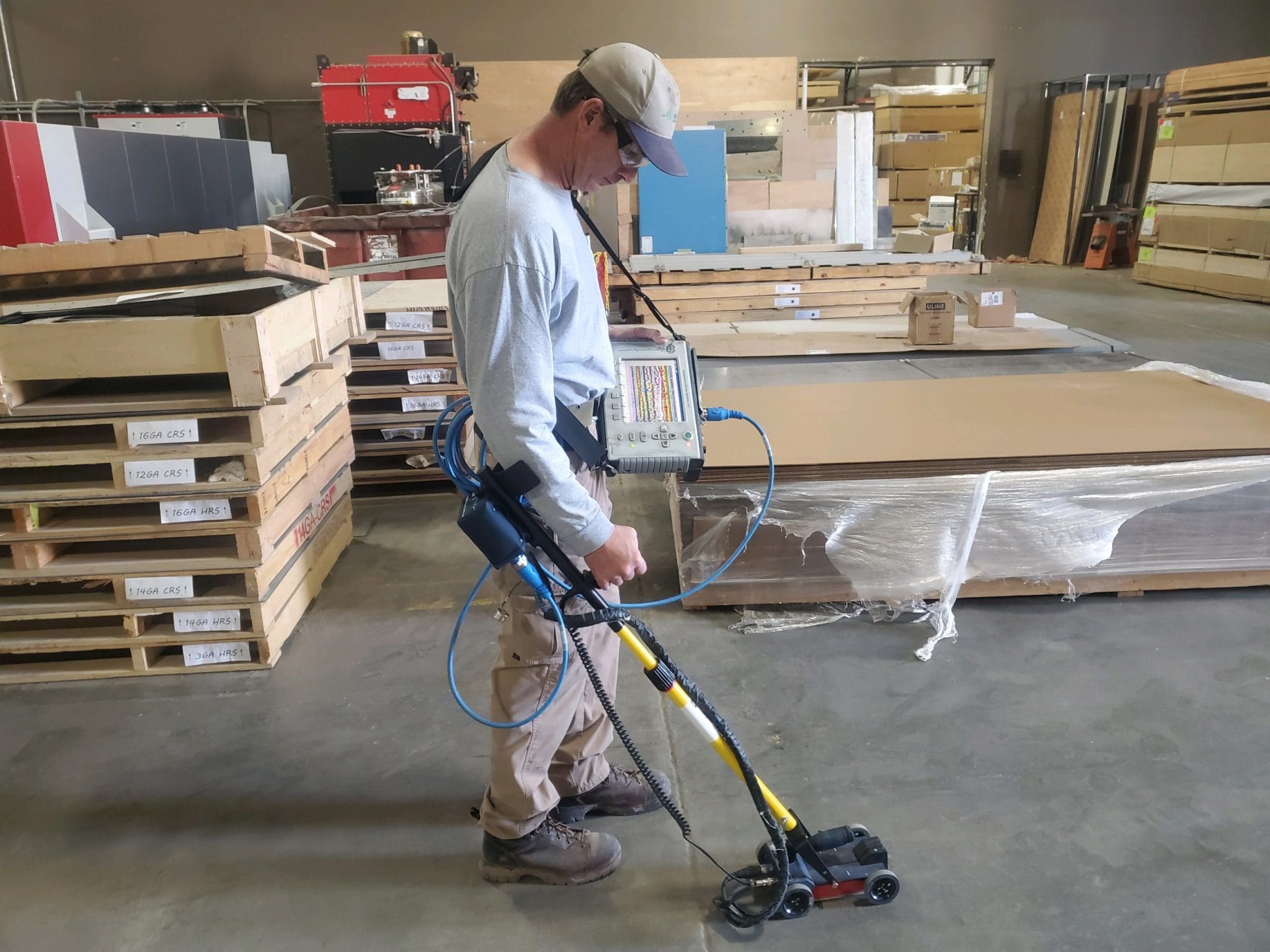
- Our professional geophysicists use seismic, magnetic, electromagnetic, electrical resistivity, ground penetrating radar (GPR), and many other non-destructive geophysical methodologies to perform evaluations of subsurface conditions.
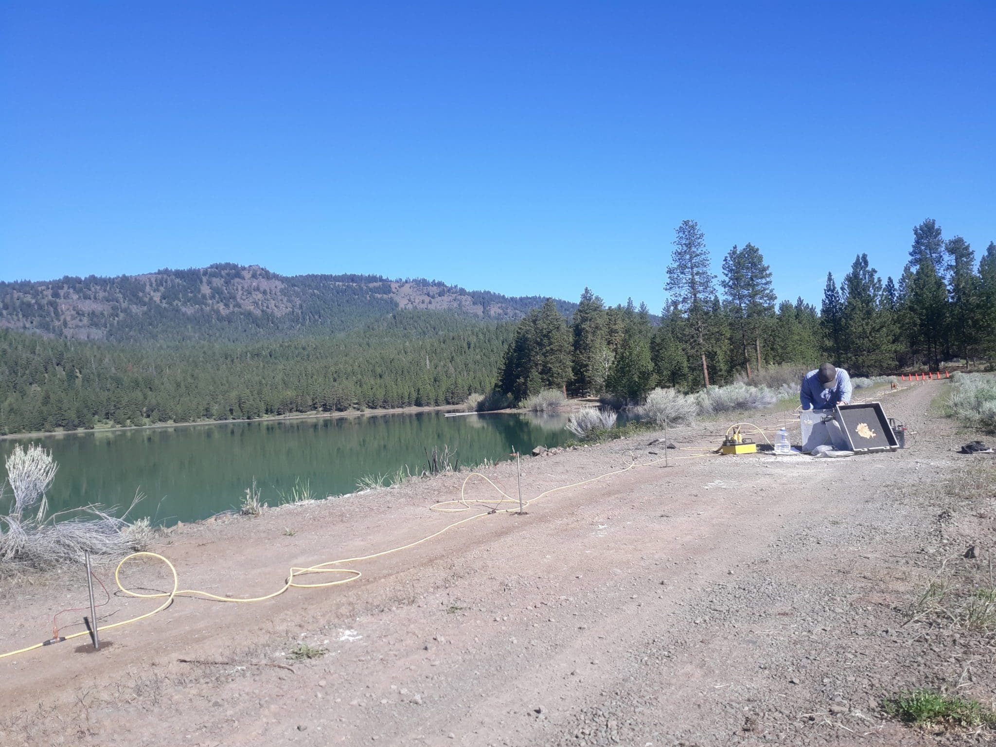
- In groundwater resource studies, geophysicists can assess the presence of faulting as well as the general hydrogeologic conditions for aquifer basins up to ~3,000 feet or more below the ground surface. Our geophysicists also partner with our water resources professionals to provide well siting, well design, well development, and well rehabilitations.
- Geophysicists can characterize geologic stratigraphy and structure relative to the occurrence of mineral deposits including lithium-bearing brines or clays, other salt bodies or salt domes, and mineralization trends often associated with precious metals like silver, gold, and base metals like copper and others.
- Electromagnetic and ground penetrating radar (GPR) methods can detect voids and backfilled excavations below the ground surface, including recent and historical human burial sites. helping to delineate existing archeological boundaries.
- Seismic, resistivity, and GPR geophysical methods can help characterize subsurface geologic conditions and mitigate risk in areas prone to dangerous and costly ground subsidence, sinkholes, voids, and soil liquefaction. The initial manifestations of these features are sometimes very minor in appearance at ground surface, but geophysics can often reveal that future damage might be a risk due to deep seated issues. Our geophysicists have discovered important project anomalies occurring at oil refineries, naval bases, next to train tracks, under portions of a paved highway, coastal cliff erosion and cave areas, within mining claim blocks, and within commercial and residential areas.
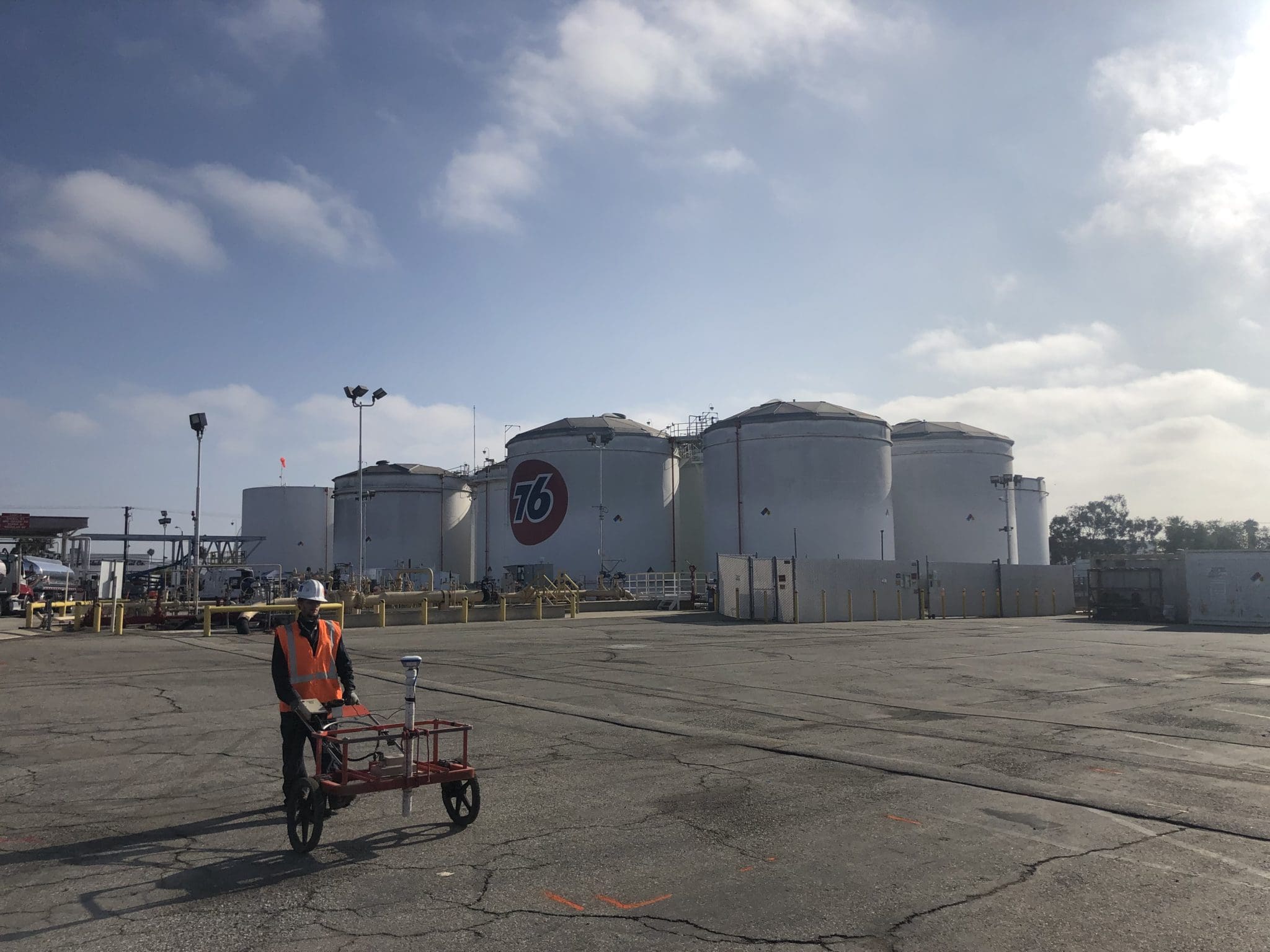
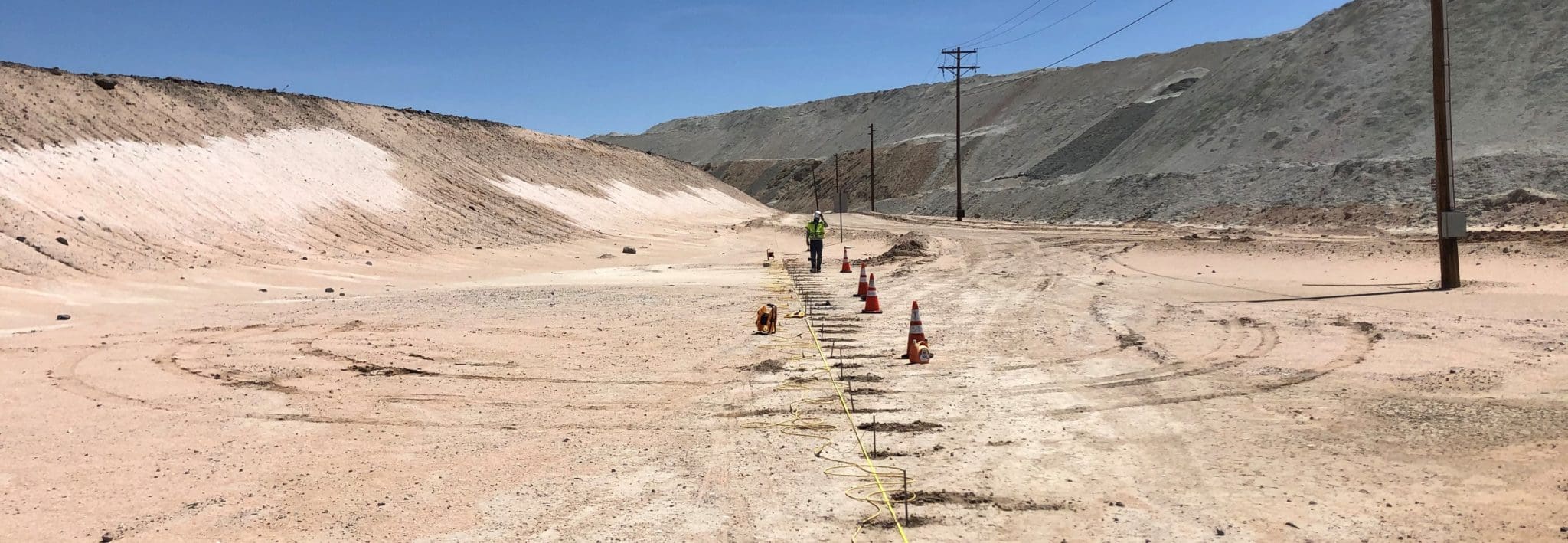
- Electrical resistivity tomography (Sting-ERT), hybrid source audiomagnetotellurics (HSAMT) and seismic reflection methods can create high-resolution 2D profiles to characterize subsurface geologic conditions where faults are known to exist. In a recent study for an industrial refinery, our geophysicists discovered several faults known to exist within an 80-acre study area that was expected to become a proposed evaporation pond.
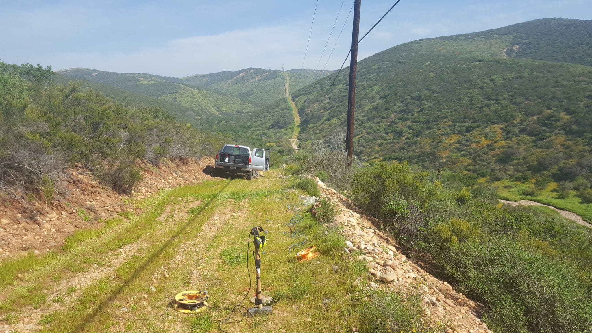
- Electrical resistivity tomography (Sting-ERT), hybrid source audiomagnetotellurics (HSAMT) and seismic reflection methods, can create high-resolution 2D profiles to characterize subsurface geologic conditions where faults are known to exist. In recent studies for a groundwater development project, several fault related prospective well sites were indicated in our results, and successful deep, bedrock aquifer water supply wells were subsequently drilled by our clients.
Learn more about our Geophysical Services
Return to the Atlas Sphere